Members
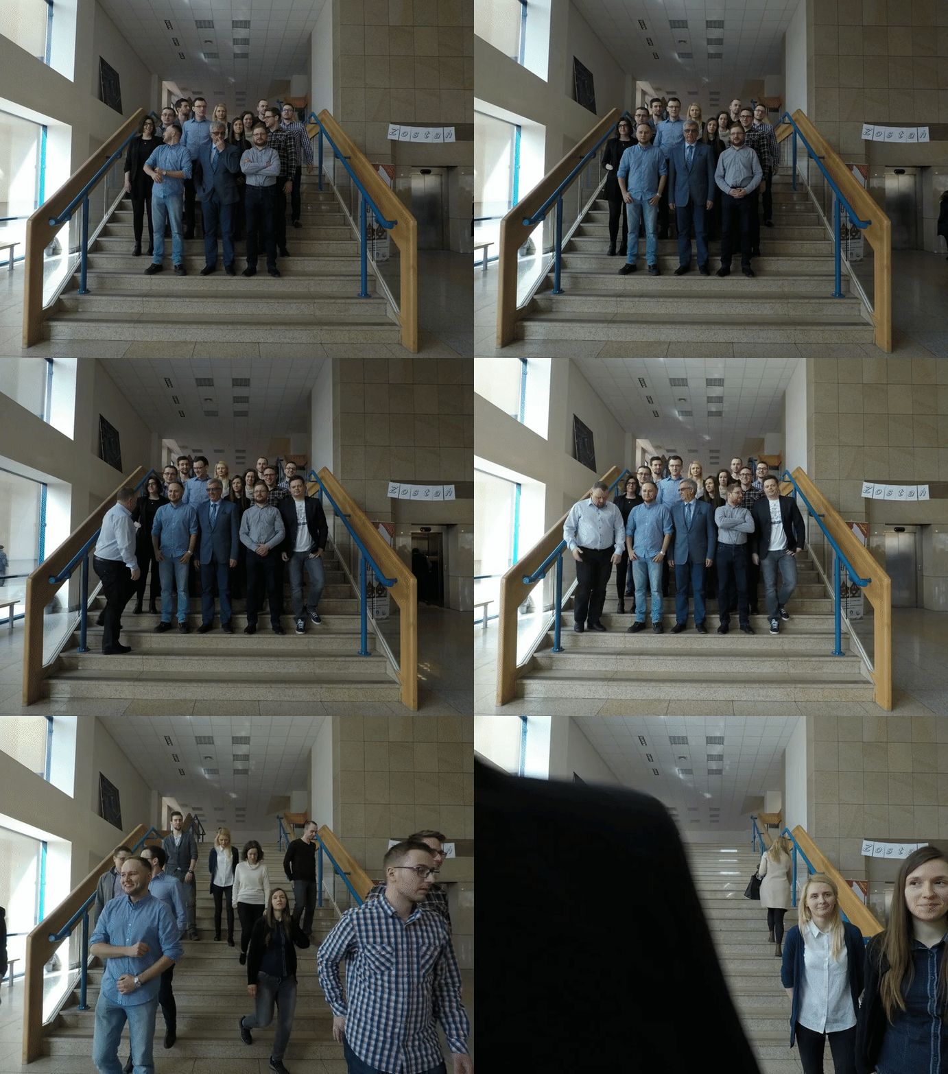
Head of the group
Prof. Jaroslaw Bosy is a Professor at the Institute of Geodesy and Geoinformatics, Wroclaw University of Environmental and Life Sciences, Poland since 2008. He was awarded a PhD in Geodesy and Cartography in 1996 and habilitation in 2006 from Faculty of Mining Surveying and Environmental Engineering of AGH University of Science and Technology, Kraków, Poland. His researches are concentrate along three directions: reference frames realization in global, regional and local scale using GNSS techniques, GNSS meteorology – utilization of the Global Navigation Satellite System’s (GNSS) radio signals to derive information about the state of the atmosphere and application of GNSS technique in geodesy and geodynamics. Prof.Bosy is currently a chair of International Association of Geodesy Working Group IAG-WG4.3.3 “Integration of GNSS atmosphere models with NWP models.
Researchers
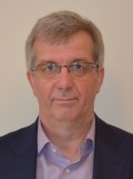
PhD Witold Rohm is an Assistant Professor at the Wroclaw University of Environmental and Life Sciences. Witold Rohm holds a Bachelor degree in Geography from Wroclaw Unviersity, a Master Degree in Geodesy and a PhD in satellite geodesy from WUELS. He spent 2 years (10.2011 – 01.2014) as a Visiting Researcher and a Research Fellow within the SPACE Research Centre working closely with staff and higher degree by research students on GNSS tomography for near-real-time weather and severe weather modelling and prediction research. Dr Rohm has a strong research track record in geodesy, meteorology and tomography research. His work at WUELS led to the successful design and development of a near-real-time GNSS tomography model for the Poland region. Dr Rohm is currently a co-chair of International Association of Geodesy Working Group IAG-WG4.3.2 “Inter-comparison and cross validation of tomography models” advancing research in GNSS tomography.
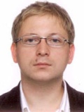
PhD Jan Kaplon is an Assistant Professor at the Institute of Geodesy and Geoinformatics, Wroclaw University of Environmental and Life Sciences, Poland since 2009. He received a PhD in Geodesy and Cartography in 2008 from Faculty of Environmental and Life Sciences of Wroclaw University of Environmental and Life Sciences. His research interests are focused now on satellite methods for determination of positions in real-time as well as on the retrieval of real-time state of troposphere using GNSS methods.
Prof. Krzysztof Sośnica graduated from the University of Bern, Switzerland in 2014 obtaining the degree PhD of Science in Physics (Dr. phil. nat.). His PhD thesis, written at the Astronomical Institute of the University of Bern (AIUB), was devoted to the determination of precise satellite orbits and geodetic parameters using Satellite Laser Ranging (SLR). His activities at AIUB and at the Center for Orbit Determination in Europe (CODE) included the combination of SLR and GNSS data at the observation level, as well as the enhancement of the consistency between GNSS and SLR solutions. His research is also focused on the impact of atmospheric effects on SLR and GNSS stations, in particular the impact of the atmospheric pressure loading, as well as the Blue-Sky effect, which is a measure of the inconsistency between microwave and laser techniques in space geodesy due to the weather-dependency of laser observations. Finally, his expertise concerns the orbit dynamics and the analysis of systematic effects in GNSS and SLR measurements.
PhD Tomasz Hadas graduated from Wroclaw University of Environmental and Life Sciences, received a PhD in Geodesy and Cartography in 2015. He is interested in real-time GNSS data processing, algorithms and applications e.g. troposphere monitoring. He has implemented the first version of GNSS-WARP software for real-time Precise Point Positioning (PPP) and continues its development (including multi-GNSS support and ambiguity resolution) with other group members. He is currently a chair of International Association of Geodesy Working Group WG4.3.4 “Ionosphere and Troposphere Impact on GNSS Positioning”.

PhD Kamil Kaźmierski graduated from Wroclaw University of Environmental and Life Sciences. In 2018 he obtained his PhD in satellite geodesy. He is an Assistant Professor at the Institute of Geodesy and Geoinformatics. He has been co-developing GNSS-WARP software since 2014. His main field of interest is connected with the development of multi-GNSS real-time precise positioning algorithms and monitoring of the quality of real-time orbit and clock corrections.
Dr. Pawel Hordyniec graduated from Wroclaw University of Environmental and Life Sciences in 2013 with a Master Degree in Geodesy and Cartography. He is a PhD student at the Institute of Geodesy and Geoinformatics, Wroclaw University of Environmental and Life Sciences, Poland. His main field of research is GPS radio occultation technique.
Dr. Grzegorz Bury graduated from Wroclaw University of Environmental and Life Sciences in 2016 with a Master Degree in Geodesy and Cartography and PhD in 2020 in Satellite Geodesy. He is a POstDoc at the Institute of Geodesy and Geoinformatics, Wroclaw University of Environmental and Life Sciences, Poland. His main field of research is to improve the consistency of solutions based on optic (SLR) and microwave (GNSS) observations to the Earth’s artificial satellites and precise orbit determination of GPS, GLONASS, Galileo, and BeiDou satellites.
IT support
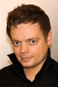
Jan Sierny graduated from Wroclaw University of Technology in 2000, obtaining Master Degree in Computer Science. He works as an IT specialist at the Institute of Geodesy and Geoinformatics, Wroclaw University of Environmental and Life Sciences, Poland since 2002. He is a PhD candidate in Geodesy and Cartography. His research interests covers IT systems developments supporting the modeling of the troposphere in real-time using GNSS and meteorological observations.
Ph.D. students
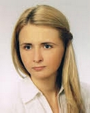
Estera Trzcina graduated from Wroclaw University of Environmental and Life Sciences in 2016 obtaining a Master Degree in Geodesy and Cartography. She is a PhD student at the Institute of Geodesy and Geoinformatics, Wroclaw University of Environmental and Life Sciences, Poland. Her field of interests is GNSS tomography.
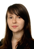
Elżbieta Lasota graduated from Wroclaw University of Environmental and Life Sciences in 2015 obtaining a Master Degree in Geodesy and Cartography. She is a PhD student at the Institute of Geodesy and Geoinformatics, Wroclaw University of Environmental and Life Sciences, Poland. Her field of interests is geoinformatics and GPS radio occultation technique.
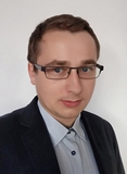
Mateusz Drożdżewski graduated from Wroclaw University of Environmental and Life Sciences in 2014 with a Master Degree in Geodesy and Cartography. He is a PhD student at the Institute of Geodesy and Geoinformatics, Wroclaw University of Environmental and Life Sciences, Poland. His field of research is troposhere delay modeling for SLR observations.
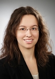
Iwona Kudłacik
 iwona.kudlacik@igig.up.wroc.pl
 +48 71 3201954
Iwona Kudłacik graduated from Wroclaw University of Environmental and Life Sciences in 2015 obtaining a Master Degree in Geodesy and Cartography. She is a PhD student at the Institute of Geodesy and Geoinformatics, Wroclaw University of Environmental and Life Sciences, Poland. Her field of interests are geodetic control networks and GNSS.

Radosław Zajdel
 radoslaw.zajadel@igig.up.wroc.pl
Radosław Zajdel graduated from UPWr in 2017 and is a Ph.D. student in a field of Geodesy and Cartography. His main field of interest is the determination of global geodetic parameters, such as daily and sub-daily earth rotation parameters and geocenter coordinates from multi-GNSS solutions with the focus on Galileo-based products.
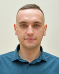
Dariusz Strugarek
 dariusz.strugarek@igig.up.wroc.pl
Dariusz Strugarek graduated from Wroclaw University of Environmental and Life Sciences in 2017 with a Master Degree in Geodesy and Cartography. He is a PhD student at the Institute of Geodesy and Geoinformatics, Wroclaw University of Environmental and Life Sciences, Poland. His main field of research is Low Earth Orbit (LEO) satellite analysis based on SLR and GNSS observations.
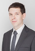
Kamil Smolak
 kamil.smolak@igig.up.wroc.pl
Kamil Smolak graduated from Wroclaw University of Environmental and Life Sciences in 2016 with a Bachelor’s degree in Geodesy and Cartography. He is a MSc student of Geoinformatics at the Wroclaw University of Environmental and Life Sciences. His main field of interest is an application of geolocalized data for space-time behaviour studies.
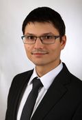
Damian Tondaś
 damian.tondas@igig.up.wroc.pl
Damian Tondaś graduated from Wroclaw University of Environmental and Life Sciences in 2016 with a Bachelor’s degree in Geodesy and Cartography. He is a last year MSc student of Geoinformatics at the Wroclaw University of Environmental and Life Sciences. His main field of interest is a research and monitoring of the atmosphere, using Global Navigation Satellite System.
Former students

Dr. Karina Wilgan graduated from Wroclaw University of Technology in 2011, obtaining Master Degree in Mathematics. Her research interests are now focused on mathematical modeling of the troposphere in real-time using GNSS and meteorological observations and integration GNSS observations with Numerical Weather Prediction models.

Natalia Hanna (Dymarska)
 natalia.dymarska@geo.tuwien.ac.at
Natalia Hanna (Dymarska) graduated from Wroclaw University of Environmental and Life Sciences (WUELS) in 2016 obtaining a Master Degree in Geodesy and Cartography. Since October 2016 she is employed as University Assistant at the Department of Geodesy and Geoinformation, TU Wien, Austria. During the period from July through September 2016 she was working on the project „SONATA“ at the Institute of Geodesy and Geoinformatics. Her main interest is assimilation of the tropospheric parameters into Numerical Weather Prediction models.
